Understand
the ground beneath your feet.
SoilWater pairs its expert soil and hydrology consulting with QSoil — a platform that models your soil assets from direct measurements and public data — and TerraScape, a family of amendments that rebuild soil structure and biology on compacted, degraded and salt-affected ground.
- +15%
- Yield uplift
- 30%
- Water saved
- 60+
- Data points
The approach
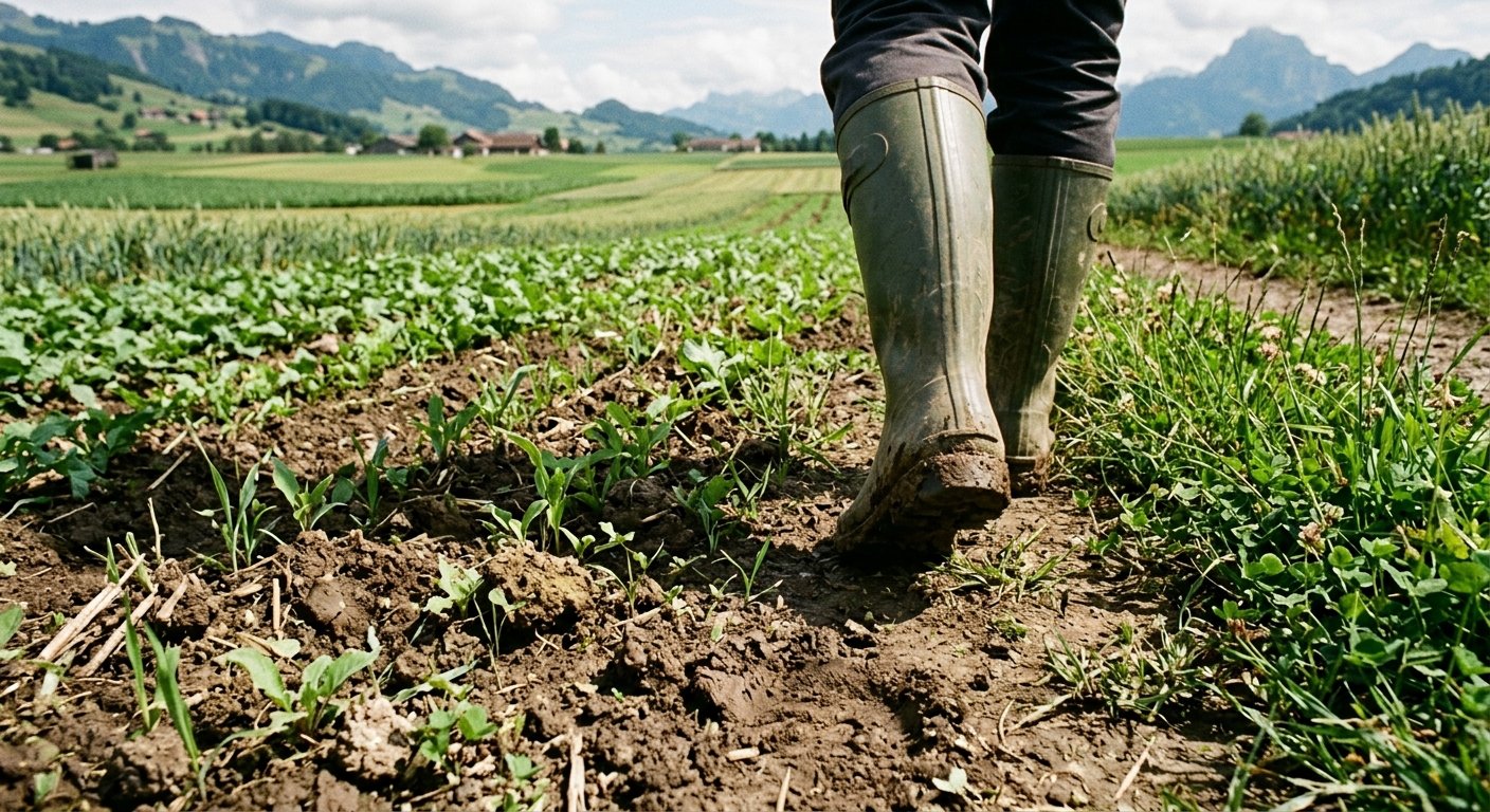
Soil as infrastructure — from baseline to horizon.
For farmers and land managers, soil is capital. SoilWater measures, analyses, validates and reports on that capital — turning ground truth and public datasets into decisions you can defend.
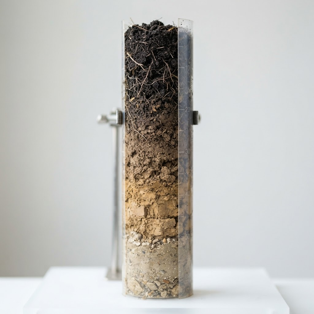
Soil surveying & taxonomy
Horizon-level texture, bulk density, pH, EC, CEC and microbial biomass, georeferenced across the field and classified to WRB/USDA.
Management zones based on measured variability, not one composite sample.
See it in QSoilHydrology & water balance
Infiltration, hydraulic conductivity, field capacity and plant-available water, solved into a root-zone water balance per zone.
Irrigation timing and depth per zone — plus runoff and drainage risk.
How the model worksAmendment strategy
Amendments matched to the limiting factor: gypsum for sodicity, biochar for exchange capacity and water-holding, inoculants for nutrient cycling.
Rates set from soil-test data, then re-sampled to confirm the response.
Meet TerraScapePolicy & carbon reporting
Baseline and repeat sampling of SOC stock, bulk density and biodiversity indicators, using recognised methods (RUSLE, SOC stock-change).
An auditable Soil Management Plan for governments, buyers and registries.
See the reportingWho we work with
One method, three kinds of decision.
Farmers & land managers
Know your soil field by field, target inputs and water where they pay back, and build an evidence trail for schemes and buyers.
Book a consultationAgronomy & advisory firms
A consistent measurement and modelling layer you can specify for clients and fold into your own advice and reporting.
Soil analysisGovernment & research
Standardised soil and hydrology data, transparent method, and reporting built to withstand audit and peer review.
Consulting & SMPsThe platform
QSoil turns your ground into data you can act on.
QSoil models your soil assets and measurements from both private and public data, reports on them in a way people actually understand, and helps you cut costs while improving results across the whole operation.
Public + private data fusion
Satellite imagery, national soil surveys and weather blend with your own lab results and in-field sensors.
Models your soil assets
A living digital twin of every field — carbon, moisture, nutrients and structure, updated continuously.
Human-readable reporting
No jargon walls. Clear guidance and audit-ready documents anyone on the team can act on.
Web & mobile clients
Plan at the desk, verify in the field. QSoil travels with you across web and mobile.
- Cost modelling
- Scenario planning
- Compliance exports
Soil moisture · 30 days
31.4%Organic carbon
2.8%
Water use vs plan
−30%
Field model · soil erosion risk
The products
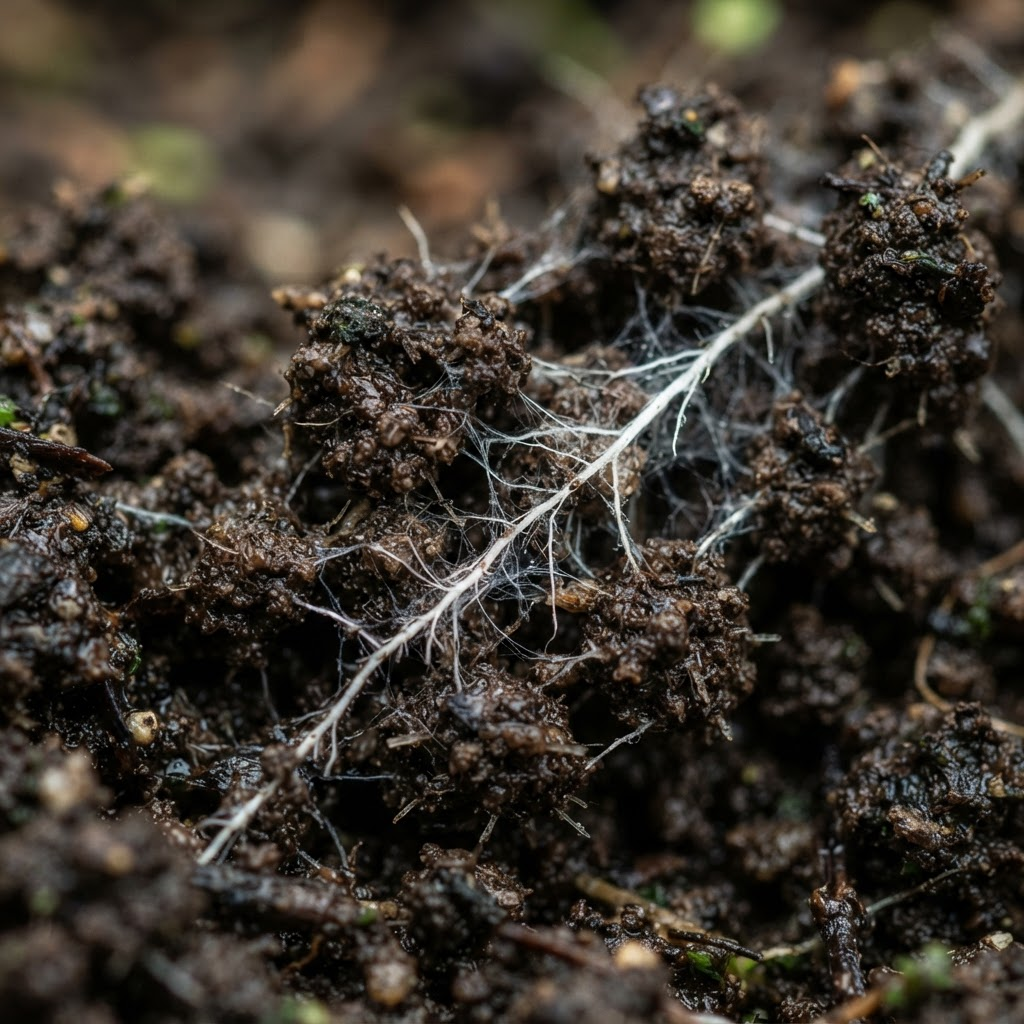
Terrascape amendments, matched to your soil.
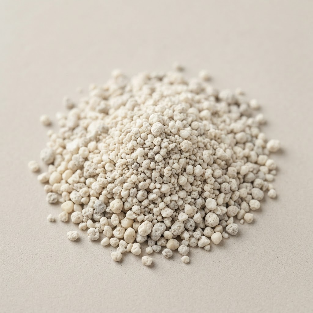
A family of amendments engineered to rebuild soil structure and biology — strongest on compacted, structurally degraded and salt-affected ground.

Sustainability & policy
Advancing the sustainable agenda, backed by research.
Healthy soil is climate infrastructure. We keep our methods anchored in published science — partnering with university research groups and United Nations working groups to validate measurement standards and turn field results into evidence that holds up to policy scrutiny.
Working alongside



Get started
Let's map the ground you manage.
Book a consultation with our soil scientists and hydrologists. We'll assess your land and show what QSoil and TerraScape can do for it.
Prefer email or phone?
hello@soilwater.com+44 1708 361644
We have offices in the UK, Canada and Switzerland.